Tai Mo Shan Hike : Hong Kong Guide
The highest peak in Hong Kong and a must do if you have already done other shorter hikes.
Waterfalls, panoramic views, jungle walks – it has it all and makes it a good choice for a hot day. As with all viewpoint hikes this is best done on a clear day.
There are a few ways to get up the peak – simply drive halfway up and walk the final bit. OR include a visit to the Ng Tung Chai waterfalls which is one of my favourite spots in HK!
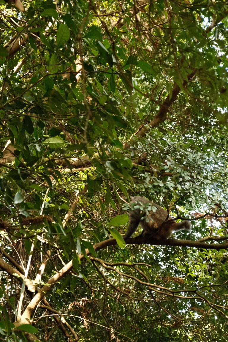
Despite not being far at all from the city this is feels tropical and wild – a world away from the city.

Hike Distance: 10.5km. However there are many routes to get up to this peak. You can actually drive half way up, but i recommend visiting the amazing waterfalls.
Hike Duration: 2.5 – 3 hours of walking, however give yourself the full day for swimming in the waterfalls, stopping for lunch, photos and enjoying the views.
Hike Difficulty: Fairly easy considering the different terrains. Steep in parts as with most viewpoint hikes but the ground is stable. Straightforward and difficult to get lost. I would still suggest this only to people with more hiking experience and be well prepared.
Hike Incline: 895m, but the peak itself is 957m above sea level and the highest peak in HK.

Getting there
There are a few ways to get to the trail head.
- Easiest way: drive / taxi fro the Rotary club campsite and park in the car park half way up the peak. This saves 2km of walking but you miss out on alot.
- If you want to see the waterfalls also then:
- Get to Kam Shueng MTR
- Bus 64K to Ng Tung Chai bus stop
- Walk back on yourself 100m to the trail entrance on the opposite side of the road. There is a sign NG TUNG CHAI
- Follow the signs to the Ng Tung Chai Waterfalls
- Whilst passing the waterfalls continue following signs to Tai Mo Shan
Getting back
Walk down to the Tai Mo Shan visitor centre and then a little further to the bus stop for the bus 51M. I found that google was not able to predict the times of this bus and it is fairly infrequent
Get off the bus at the Tsuen Wan MTR station and then get the MTR to where ever you are staying.

The Hike
The start of the hike is an easy paved road up through the village. Stay on the path following signs to Ng Tung Chair waterfalls and dont be temped to one of the many forks off.
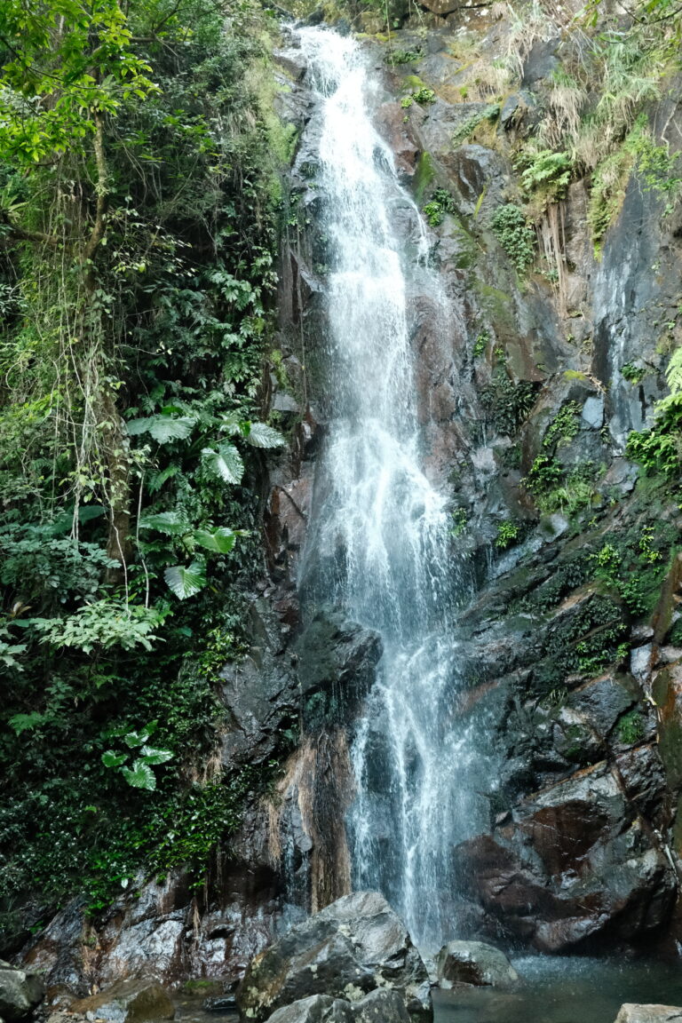
The waterfalls will add another 20minutes of walking but well worth it. Obviously extra time for swimming and exploring. This part of the hike really feels wild.
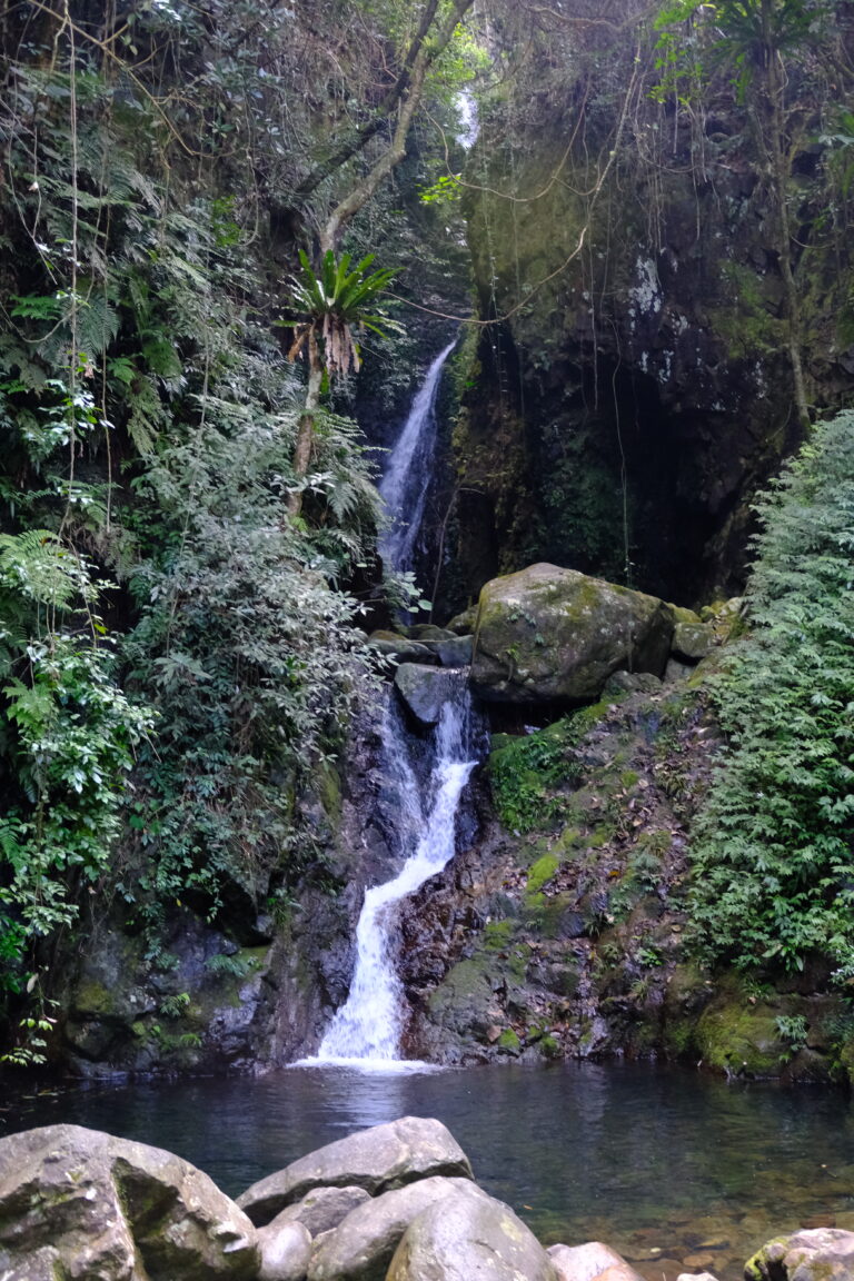
The first waterfall is ‘Bottom Falls’ and about 30-40 minutes into the hike. This smaller waterfall is normally empty so worth a swim. All of the waterfalls have signs to the next so just follow the paths.
‘Main falls’ is the next waterfall, and there are a few more but Bottom falls is my favourite. Depending on the season the waterfalls can be almost dry or very heavy.
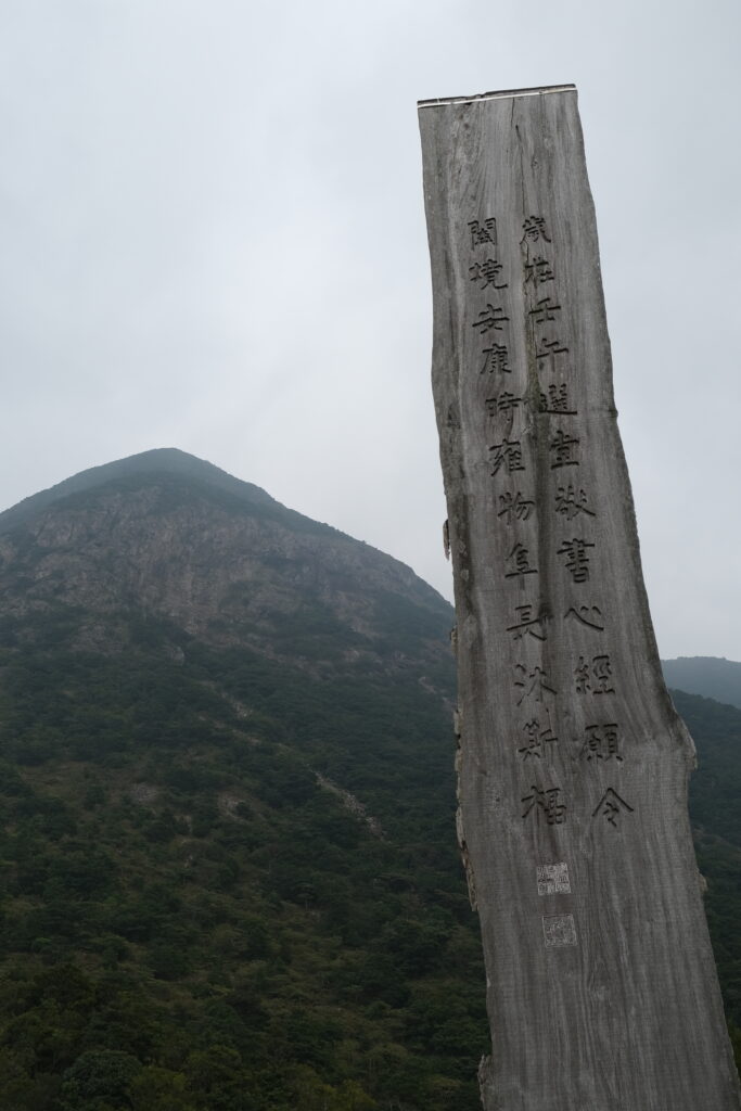
After the waterfalls there is a 500m incline to the summit and it is tough! Despite the trial feeling jungle-ish and wild there are plenty of little wooden signs to follow.
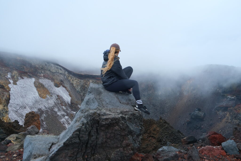
At the summit there are some radio towers and small buildings but no ‘summit point’ necessarily so just pick a rock to sit and enjoy your lunch.
The views seem to come and go in a haze of smog and clouds up here, so get the photos whilst you can!
